Essential Strategies for Balancing Work and Life in Construction
Editorial Note: This article was brought to you courtesy of Rose Morrison, managing editor of ...


If you had to guess, what would you say the word “LiDAR” means? Unless you’re a land surveyor or an owner of the latest Apple devices, chances are you’re not familiar with the term. If you’re like me, LiDAR sounds at first like some kind of lie-detecting radar akin to the Voight-Kampff test. While this isn’t the case, it’s also not entirely inaccurate. LiDAR may not sniff out deceptive androids, but it is a tool that offers deeper glimpses into the truth. A technology that’s already invaluable to construction and many other industries, LiDAR reveals an unparalleled view of the world, rendering its most granular details into vivid, data-rich virtual landscapes with the rapid flick of a laser beam.
Before we can dive into all the ways that LiDAR is transforming the construction industry, we need to get a clearer picture of what exactly LiDAR is, what it isn’t, where it came from, and how it works.
First, what does LiDar stand for? LiDAR stands for “light detection and ranging.” It’s a form of three-dimensional mapping technology, a kind of echolocation or sonar that “sees” by reflecting light instead of sound. Also referred to as “laser scanning,” or “LiDAR radar,” LiDAR creates 3D maps of physical space by measuring precise distances and spatial relationships between objects and features within an environment.
LiDAR is similar to RADAR (radio detection and ranging), though the data LiDAR generates is far more detailed and uses laser pulses instead of microwaves. Imagine a device that uses invisible light to scan your entire living room and creates a highly accurate 3D virtual replica that can then be explored from multiple angles. That’s LiDAR in a nutshell.
LiDAR came on the scene shortly after scientist Ted Maiman invented the laser in 1960 by shining a high powered beam of light at a ruby rod encased in a polished aluminum cylinder. Since then, lasers of different types and varying strengths have become the cornerstones of numerous familiar technologies, from barcode scanners to LASIK eye surgery. Among these laser-based innovations, LiDAR was actually one of the earliest. The first LiDAR system was built by Hughes Aircraft Company in 1961, a mere year after the laser’s invention. In the hands of the US military, LiDAR was used to make rangefinders as well as the first laser guided bombs in 1969. Over the next ten years, the technology would be applied primarily to aerial topographical mapping, most notably by NASA in 1971 when Apollo 15 used onboard LiDAR sensors to map the surface of the moon. LiDAR continued to evolve over the ensuing decades, eventually forming the underpinnings for how driverless cars navigate the world and deepening our understanding of both the built and natural environments in the modern era.
There are different types of LiDAR, but a typical setup includes an emitter, a LiDAR sensor, and a GPS system. The emitter rapidly fires short pulses of laser light—up to 200,000 pulses per second in some cases—into the surrounding environment. The type of light emitted depends on the system and what it’s targeting, but most LiDAR uses ultraviolet or near-infrared lasers that are invisible to the naked eye. The light then bounces off terrain features like ravines, trees, and buildings. The sensor measures how long it takes for each laser pulse to return and uses this information to determine the precise distance the light traveled from point A to point B. This dense collection of three-dimensional data is called a point cloud. The GPS then places the point cloud in its correct orientation on the Earth’s surface. Run it all through a computer and you’ve got yourself a virtual 3D map of whatever you aimed your LiDAR at.
While they’re both used for 3D mapping, photogrammetry and LiDAR are not the same thing. Photogrammetry is a computerized method of generating virtual 3D reproductions by combining many images of physical objects photographed at multiple angles. As we’ve already touched on, LiDAR works by bouncing light off of surfaces, making it a form of active remote sensing. That is, LiDAR is both the transmitter and receiver of the light it uses to sense the environment. Photogrammetry on the other hand is a form of passive remote sensing, in that it “sees” using ambient natural light from the sun.
LiDAR can target specific environmental features, from the macro all the way down to the micro scale. It can capture everything from entire landscapes to individual particles floating in the air. NASA, for instance, uses satellites equipped with a special type of LiDAR to monitor water vapor and other atmospheric gases at a molecular level. Recent advances in atmospheric LiDAR are helping scientists monitor and visualize the impacts of climate change with unprecedented accuracy and resolution.
For most purposes however, there are 3 main types of LiDAR:
Topographic LiDAR is used to map surface terrain, whether it’s forests, mountain ranges, or cityscapes. This is accomplished by aircraft and satellites equipped with LiDAR sensors that sweep the ground below with near-infrared lasers.
Bathymetric LiDAR is also aerial but instead uses water penetrating green lasers to map the contours of the ocean floor, riverbeds, and other inland bodies of water.
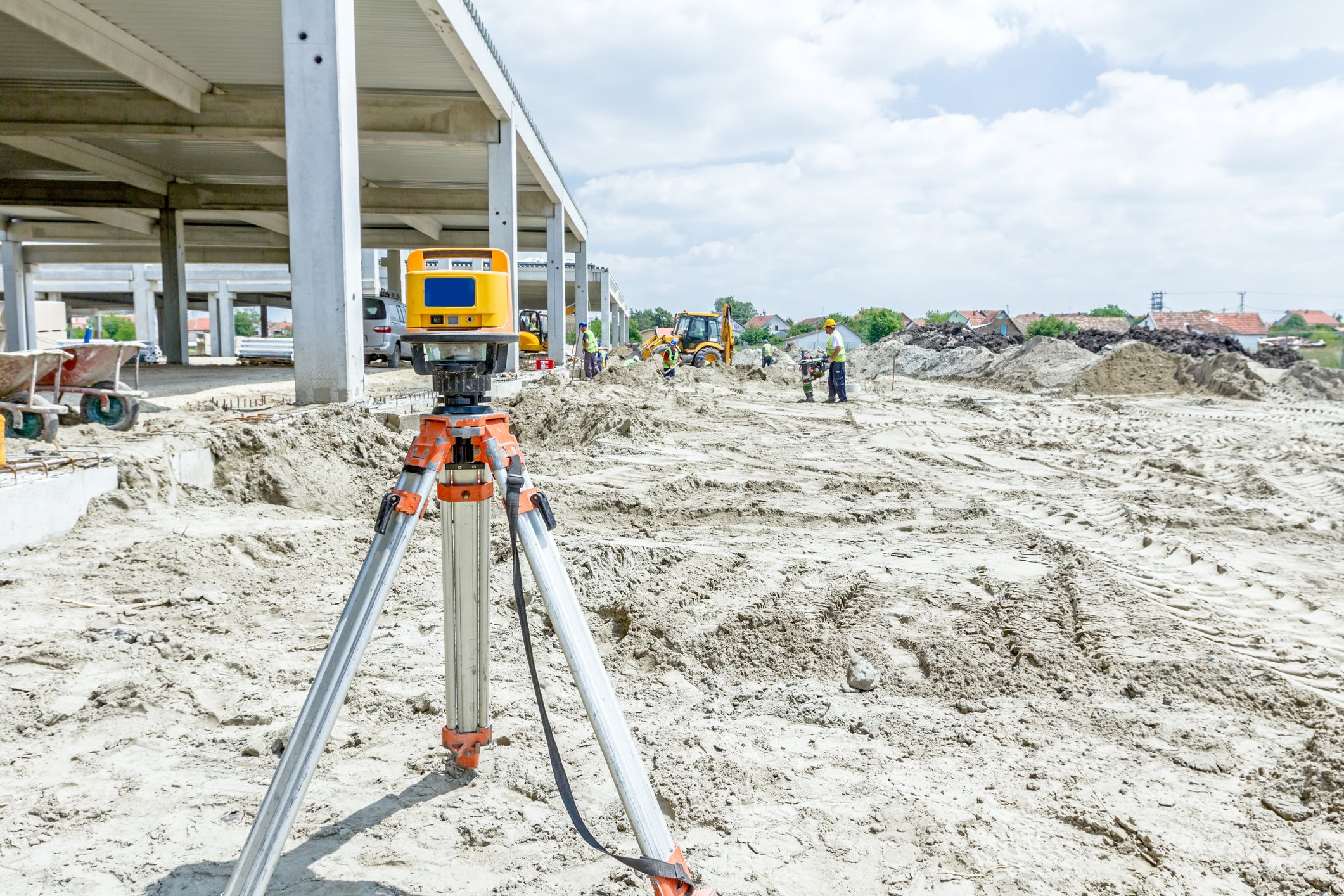
Terrestrial LiDAR on the other hand involves sensors attached to tripods or other mountings on the ground, and is great for providing highly detailed horizontal scans of smaller areas.
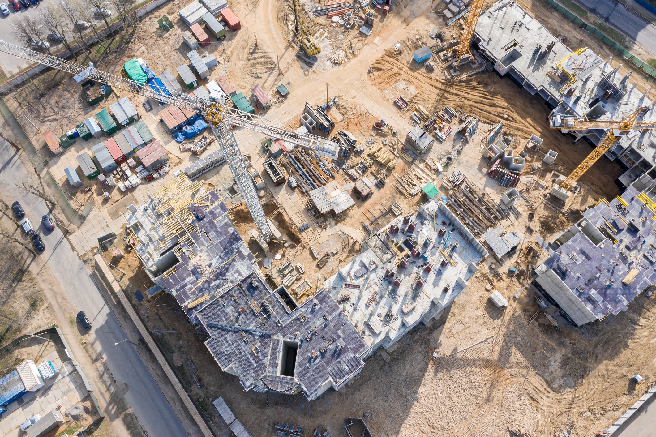
As you can probably imagine by now, LiDAR is an extremely valuable tool in construction that can be deployed in every stage of a project’s life cycle. Let’s take a look at some of the ways that LiDAR streamlines processes and opens up new possibilities on the jobsite.
Some construction applications of LiDAR we'll discuss:
Before breaking ground, construction professionals need to know: Is this a good spot to build on? LiDAR can answer that question and then some. Using topographic LiDAR sensors mounted on airplanes, helicopters, or construction drones, land surveyors can rapidly capture accurate 3D images of the contours, slopes, and gradients of a potential construction site to help determine its suitability.
Meanwhile, bathymetric LiDAR is a vital tool for surveying the stability of underwater landscapes in preparation for the construction of submerged tunnels, pipelines, and bridges abutments. With LiDAR, we’re also now able to survey notoriously difficult to map areas covered by forests and vegetation, where the density of flora and height of arboreal canopies present formidable challenges to most surveying techniques. Even alternative 3D mapping tools like photogrammetry have difficulty gauging this type of terrain. LiDAR, however, can generate highly detailed maps of forested areas with relative ease. Pinpoint laser pulses are able to traverse small gaps between spaces, enabling LiDAR to not only capture highly accurate models of the forest, but the trees themselves, as well as the ground beneath their branches. It’s this unique vegetation penetrating capability that has made LiDAR instrumental in a number of astonishing archaeological discoveries in recent years. LiDAR surveys can also pick out delicate details in urban environments like electrical lines or bridge cables. It’s even able to determine the composition of the soil, arming construction professionals with an unprecedented depth of knowledge about the ground they aim to build on.
The next stage is to visualize the building itself, which—surprise!—LiDAR also plays an important role in. Sharing a vision for a construction project has traditionally been done with blueprints, CAD files, or 3D printed models. None of these compare however to the latest and most advanced method of visualization: BIM (or Building Information Modeling).

A sophisticated platform for creating interactive 3D simulations, BIM provides construction teams an unparalleled ability to collaborate on every aspect of a building’s design and functionality. To make the highest quality BIM model, industry pros must first have a firm understanding of the terrain a project is situated in. That’s where LiDAR comes in. When integrated together, the point cloud datasets captured by LiDAR form the sturdiest virtual foundations upon which a BIM model can be built, offering clients and stakeholders a glimpse into what the finished project will look like in its natural environment. The synergy between these two modeling systems doesn’t end there, either. Once construction is underway, terrestrial LiDAR scanners can be used to track construction progress in real-time, generating images of a building’s emerging structure that can then be cross-referenced against the BIM model for discrepancies. This allows for a higher level of quality assurance and grants deeper insight into how virtual plans survive the proverbial “contact with the enemy.”
LiDAR’s usefulness continues even after construction is complete. Existing buildings and roadways deteriorate over time and the damage isn’t always apparent to the naked eye. But there’s nothing like a dense point cloud for detecting cracks in walls that might otherwise escape notice. On a larger scale, entire stretches of highway can quickly be scanned for surface damage with an overhead LiDAR sweep. The technology has also proven to be a useful tool in surveying building damage in the aftermath of natural disasters like earthquakes and hurricanes.
LiDAR comes with a host of advantages. In particular, the heightened speed, accuracy, and safety that LiDAR enables make it a welcome addition to any construction project.
Let's discuss these 3 main LiDAR advantages:
LiDAR makes it possible to conduct comprehensive scans of terrain and building projects in a matter of hours instead of days. While highly accurate, traditional topographical land surveying is a time-consuming affair that involves a lot of on-foot work with line-of-sight measurement tools. LiDAR of course can capture vast swaths of terrain from above. Which do you think is faster? To get to the bottom of this question, a team of surveyors completed a comparative analysis of the two methods while working on a large dike project in 2015. They found that under the traditional method they were able to survey a 25-mile area and process the results in about 1,921 hours. Meanwhile, it only took 373 hours to survey a 153-mile area and process the results using topographic LiDAR. That’s six times the area in a fraction of the time. A building inspector equipped with a terrestrial LiDAR system can achieve similar results on-site. Instead of having to measure everything by hand or with slow moving mechanical instruments, they can paint entire spaces with an array of laser pulses and have a complete and accurate dataset in a matter of minutes.
LiDAR is considered to be highly accurate in comparison to other mapping techniques, including photogrammetry—though to be fair, this is a matter of some debate among industry professionals. As we’ve already touched on, the density and frequency of laser pulse point clouds yields extremely precise results that can even penetrate the spaces between leaves and branches in densely forested areas. Traditional topographical surveying is still considered to be highly accurate, but runs into numerous pitfalls in comparison to LiDAR, which achieves comparable results with greater efficiency.
LiDAR introduces greater safety to building projects by removing the need to conduct hands-on inspections and measurements. This is no small thing as far as safety is concerned in the world of construction, where terrain and jobsites can be hazardous.

Instead of, for instance, having to climb into the rafters with a measuring tape, construction workers can now keep their feet safely planted on the ground and let a LiDAR drone (construction drone equipped with a LiDAR sensor) do the job for them.
It really comes down to one big one: LiDAR is expensive. According to one estimate, it can cost upwards of $50,000 for a decent entry level LiDAR setup, including the sensor, drone, accessories, GPS system, and annual equipment insurance. The cost of paying someone else to do it depends on a number of factors, but by and large, LiDAR surveys are more expensive than other methods.
The raw scattered point clouds of a LiDAR scan might appear at first glance to be the primitive readout of an outdated technological artifact, like the flickering green phosphor monitor of an ancient personal computer. After all, light detection and ranging has its roots in the 1960s. It’s easy then for the untrained eye to miss that what it’s looking at isn’t the past but the future of how we imagine and build the world around us.
It might not be long before fully automated machines and drones are roving around construction sites with eyes that see using a combination of LiDAR sensors and multi-view cameras. If they’re ever realized, the vaunted smart cities of the future will be planned with LiDAR, will sense and direct traffic through their high-speed concrete arteries with LiDAR, and will gather dense point clouds of data on everything that transpires within their walls with LiDAR. The speed, efficiency, and ease with which LiDAR captures high-fidelity reproductions of the Earth’s surface have even positioned it to someday construct a 3D model of the entire planet. Indeed, a group of scientists at Colorado State University is already hard at work using LiDAR to do precisely that. Dubbed the Earth Archive initiative, the project’s website describes its mission in urgent terms as an attempt to preserve a record of current global ecosystems for future generations before the climate crisis renders them beyond recognition. Without LiDAR, this Herculean task would be impossible. In the short term, LiDAR may soon be as commonplace as the cameras on our phones. Unveiled in 2020, the iPad Pro and iPhone 12 Pro both come with built-in LiDAR sensors, opening up a whole world of possibilities for those who own the devices, from cheap and easy 3D mapping to heightened augmented reality capabilities.
As with any technology, it’s difficult to say with absolute certainty what impacts LiDAR will have in the years to come. That said, it has already revolutionized the construction industry and with the rate at which the technology continues to develop, there’s no good reason to believe LiDAR is going to stop shaking things up anytime soon.
After all, what’s more futuristic than lasers?

Sign up to receive ONE-KEY™ news and updates.
Editorial Note: This article was brought to you courtesy of Rose Morrison, managing editor of ...
Editorial Note: This article was brought to you courtesy of Rose Morrison, managing editor of ...
Editorial Note: This article was brought to you courtesy of Rose Morrison, managing editor of ...